Geolocate

Chhapthok topographic map

Interactive map

Click on the map to display elevation.

About this map

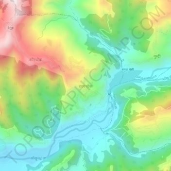
Name: Chhapthok topographic map, elevation, terrain.

Location: Chhapthok, Tripura Sundari, Dhading, Bagmati Province, Nepal (27.99661 84.89659 28.03661 84.93659)

Average elevation: 776 m

Minimum elevation: 515 m

Maximum elevation: 1,269 m

Other topographic maps

Click on a map to view its topography, its elevation and its terrain.

Thade Tol

Nepal > Bagmati Province > Dhading > Dangsing

Average elevation: 1,276 m

Gumdi

Nepal > Bagmati Province > Dhading

Average elevation: 822 m

Baseri

Nepal > Bagmati Province > Dhading

Average elevation: 1,091 m

Semjong

Nepal > Bagmati Province > Dhading

Average elevation: 1,534 m

Salanghat

Nepal > Bagmati Province > Dhading > Malekhu

Average elevation: 617 m

Dhunibesi

Nepal > Bagmati Province > Dhading

Average elevation: 1,399 m

Malekhu

Nepal > Bagmati Province > Dhading

Average elevation: 681 m