
Dhunibesi topographic map
Interactive map
Click on the map to display elevation.
About this map
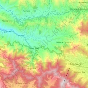
Name: Dhunibesi topographic map, elevation, terrain.
Location: Dhunibesi, Dhading, Bagmati Province, Nepal (27.67001 85.11727 27.77684 85.27096)
Average elevation: 1,399 m
Minimum elevation: 662 m
Maximum elevation: 2,524 m
Other topographic maps
Click on a map to view its topography, its elevation and its terrain.