
Wolf Creek topographic map
Interactive map
Click on the map to display elevation.
About this map
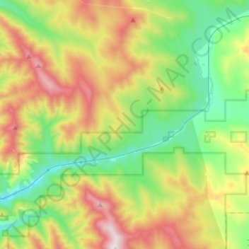
Name: Wolf Creek topographic map, elevation, terrain.
Location: Wolf Creek, Lincoln County, Montana, United States (48.22922 -115.29363 48.34828 -115.03438)
Average elevation: 1,225 m
Minimum elevation: 796 m
Maximum elevation: 1,988 m
Other topographic maps
Click on a map to view its topography, its elevation and its terrain.