
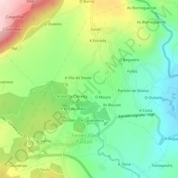
Ferreira de Pantón topographic map
Interactive map
Click on the map to display elevation.
About this map
Name: Ferreira de Pantón topographic map, elevation, terrain.
Average elevation: 405 m
Minimum elevation: 300 m
Maximum elevation: 581 m
Other topographic maps
Click on a map to view its topography, its elevation and its terrain.
Pantón
Spanien > Galicien > Terra de Lemos > Pantón
Pantón, Terra de Lemos, Lugo, Galicien, Spanien
Average elevation: 444 m