
Naachtún topographic map
Interactive map
Click on the map to display elevation.
About this map
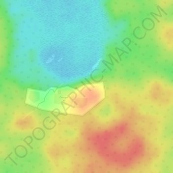
Name: Naachtún topographic map, elevation, terrain.
Location: Naachtún, San José, Petén, Guatemala (17.79652 -89.72523 17.79662 -89.72513)
Average elevation: 300 m
Minimum elevation: 267 m
Maximum elevation: 332 m
Other topographic maps
Click on a map to view its topography, its elevation and its terrain.