
Nakbé topographic map
Interactive map
Click on the map to display elevation.
About this map
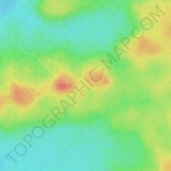
Name: Nakbé topographic map, elevation, terrain.
Location: Nakbé, San José, Petén, Guatemala (17.68196 -89.83115 17.68206 -89.83105)
Average elevation: 294 m
Minimum elevation: 266 m
Maximum elevation: 328 m
Other topographic maps
Click on a map to view its topography, its elevation and its terrain.