
Kamusinga topographic map
Interactive map
Click on the map to display elevation.
About this map
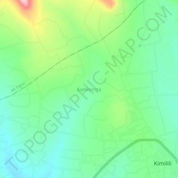
Name: Kamusinga topographic map, elevation, terrain.
Location: Kamusinga, Bungoma County, West Kenya, Kenya (0.78000 34.68000 0.82000 34.72000)
Average elevation: 1,700 m
Minimum elevation: 1,624 m
Maximum elevation: 1,874 m
Other topographic maps
Click on a map to view its topography, its elevation and its terrain.