
Wamono topographic map
Interactive map
Click on the map to display elevation.
About this map
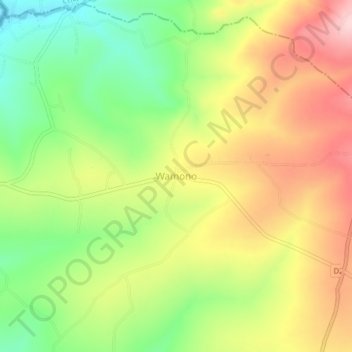
Name: Wamono topographic map, elevation, terrain.
Location: Wamono, Bungoma County, West Kenya, Kenya (0.77050 34.41440 0.81050 34.45440)
Average elevation: 1,466 m
Minimum elevation: 1,354 m
Maximum elevation: 1,585 m
Other topographic maps
Click on a map to view its topography, its elevation and its terrain.