
勐板乡 topographic map
Interactive map
Click on the map to display elevation.
About this map
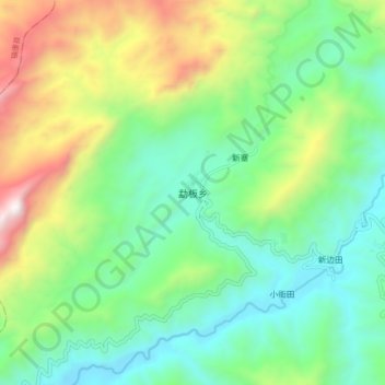
Name: 勐板乡 topographic map, elevation, terrain.
Location: 勐板乡, 临沧市, 云南省, 中国 (24.04635 99.10817 24.12635 99.18817)
Average elevation: 1,449 m
Minimum elevation: 976 m
Maximum elevation: 2,479 m
Other topographic maps
Click on a map to view its topography, its elevation and its terrain.