
忙丙乡 topographic map
Interactive map
Click on the map to display elevation.
About this map
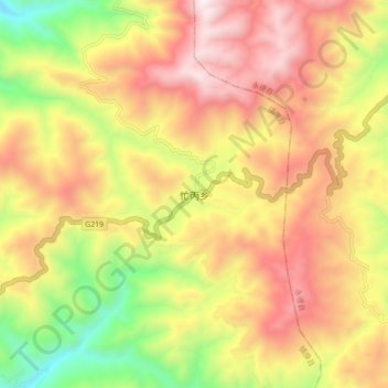
Name: 忙丙乡 topographic map, elevation, terrain.
Location: 忙丙乡, 临沧市, 云南省, 中国 (23.89642 99.11428 23.97642 99.19428)
Average elevation: 1,950 m
Minimum elevation: 1,305 m
Maximum elevation: 2,516 m
Other topographic maps
Click on a map to view its topography, its elevation and its terrain.