
Hednesford Hills topographic map
Interactive map
Click on the map to display elevation.
About this map
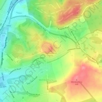
Name: Hednesford Hills topographic map, elevation, terrain.
Average elevation: 194 m
Minimum elevation: 154 m
Maximum elevation: 240 m
Staffordshire trails, hiking, mountain biking, running and outdoor activities
Other topographic maps
Click on a map to view its topography, its elevation and its terrain.
Cannock Chase National Landscape
United Kingdom > England > Staffordshire > Cannock Chase
Average elevation: 134 m