
高产村 topographic map
Interactive map
Click on the map to display elevation.
About this map
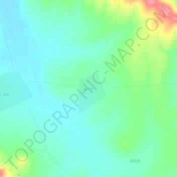
Name: 高产村 topographic map, elevation, terrain.
Location: 高产村, 哈尔滨市, 黑龙江省, 中国 (46.04851 130.01039 46.08851 130.05039)
Average elevation: 179 m
Minimum elevation: 151 m
Maximum elevation: 259 m
Other topographic maps
Click on a map to view its topography, its elevation and its terrain.