
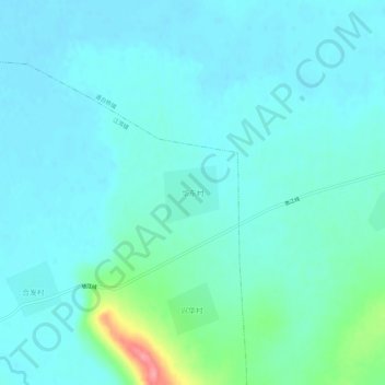
华东村 topographic map
Interactive map
Click on the map to display elevation.
About this map
Name: 华东村 topographic map, elevation, terrain.
Location: 华东村, 哈尔滨市, 黑龙江省, 中国 (46.15550 129.75311 46.19550 129.79311)
Average elevation: 131 m
Minimum elevation: 116 m
Maximum elevation: 210 m
Other topographic maps
Click on a map to view its topography, its elevation and its terrain.