
Yazu topographic map
Interactive map
Click on the map to display elevation.
About this map
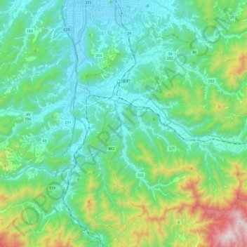
Name: Yazu topographic map, elevation, terrain.
Location: Yazu, Yazu County, Tottori Prefecture, Japan (35.30204 134.21442 35.45033 134.44723)
Average elevation: 283 m
Minimum elevation: 4 m
Maximum elevation: 1,252 m