
Juno topographic map
Interactive map
Click on the map to display elevation.
About this map
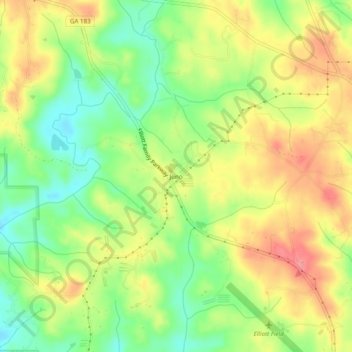
Name: Juno topographic map, elevation, terrain.
Location: Juno, Dawson County, Georgia, United States (34.45593 -84.21408 34.49593 -84.17408)
Average elevation: 454 m
Minimum elevation: 413 m
Maximum elevation: 496 m
Other topographic maps
Click on a map to view its topography, its elevation and its terrain.