
太子町 topographic map
Interactive map
Click on the map to display elevation.
About this map
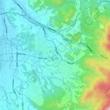
Name: 太子町 topographic map, elevation, terrain.
Location: 太子町, 南河内郡, 大阪府, 日本 (34.49727 135.62038 34.54105 135.67753)
Average elevation: 134 m
Minimum elevation: 25 m
Maximum elevation: 528 m
Other topographic maps
Click on a map to view its topography, its elevation and its terrain.