
千早赤阪村 topographic map
Interactive map
Click on the map to display elevation.
About this map
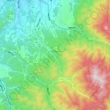
Name: 千早赤阪村 topographic map, elevation, terrain.
Location: 千早赤阪村, 南河内郡, 大阪府, 日本 (34.39553 135.60213 34.47662 135.68698)
Average elevation: 437 m
Minimum elevation: 73 m
Maximum elevation: 1,119 m
Other topographic maps
Click on a map to view its topography, its elevation and its terrain.