
Westkapelle topographic map
Interactive map
Click on the map to display elevation.
About this map
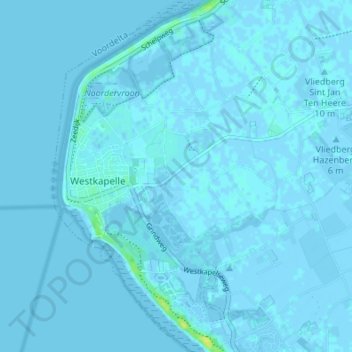
Name: Westkapelle topographic map, elevation, terrain.
Location: Westkapelle, Veere, Seeland, Niederlande (51.50873 3.43206 51.55099 3.48232)
Average elevation: 0 m
Minimum elevation: -4 m
Maximum elevation: 15 m
Other topographic maps
Click on a map to view its topography, its elevation and its terrain.
Koudekerke
Niederlande > Seeland > Veere
Koudekerke, Veere, Seeland, Niederlande
Average elevation: 0 m