
Gapinge topographic map
Interactive map
Click on the map to display elevation.
About this map
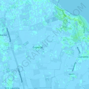
Name: Gapinge topographic map, elevation, terrain.
Location: Gapinge, Veere, Seeland, Niederlande (51.52526 3.60981 51.56572 3.64548)
Average elevation: 0 m
Minimum elevation: -4 m
Maximum elevation: 5 m
Other topographic maps
Click on a map to view its topography, its elevation and its terrain.
Koudekerke
Niederlande > Seeland > Veere
Koudekerke, Veere, Seeland, Niederlande
Average elevation: 0 m
Westkapelle
Niederlande > Seeland > Veere
Westkapelle, Veere, Seeland, Niederlande
Average elevation: 0 m