Geolocate

Samur topographic map

Click on the map to display elevation.

About this map

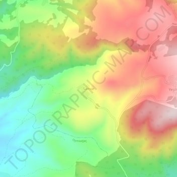
Name: Samur topographic map, elevation, terrain.

Location: Samur, Vezirköprü, Samsun, Black Sea Region, Turkey (41.20778 35.44854 41.24778 35.48854)

Average elevation: 501 m

Minimum elevation: 275 m

Maximum elevation: 747 m

Gear up for your next adventure:

🎒Hiking Child Carriers - Explore the outdoors with the whole family safely
🧼Biodegradable Soap - Leave-no-trace hygiene for multi-day mountain treks
🧭Professional Hiking Compasses - High-precision liquid-filled compasses for map reading and orientation
🧰First Aid Kits - Essential safety kits for outdoor activities
📱Rugged Phone Cases - Heavy-duty protection for smartphones used as secondary GPS tools

As an Amazon Associate, this site earns from qualifying purchases at no extra cost to you.