
Pugalur topographic map
Interactive map
Click on the map to display elevation.
About this map
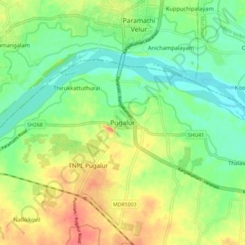
Name: Pugalur topographic map, elevation, terrain.
Location: Pugalur, Karur, Karur District, Tamil Nadu, 639117, India (11.03624 77.96405 11.11624 78.04405)
Average elevation: 134 m
Minimum elevation: 111 m
Maximum elevation: 164 m
Other topographic maps
Click on a map to view its topography, its elevation and its terrain.
Manmangalam
India > Tamil Nadu > Karur
Manmangalam, Karur, Karur District, Tamil Nadu, 639006, India
Average elevation: 141 m