Amgah Paanch Peer topographic map
Interactive map
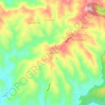
Click on the map to display elevation.
About this map
Name: Amgah Paanch Peer topographic map, elevation, terrain.
Average elevation: 535 m
Minimum elevation: 400 m
Maximum elevation: 696 m

Click on the map to display elevation.
Name: Amgah Paanch Peer topographic map, elevation, terrain.
Average elevation: 535 m
Minimum elevation: 400 m
Maximum elevation: 696 m