
East Quincy topographic map
Interactive map
Click on the map to display elevation.
About this map
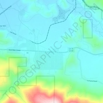
Name: East Quincy topographic map, elevation, terrain.
Average elevation: 1,119 m
Minimum elevation: 1,036 m
Maximum elevation: 1,459 m
Other topographic maps
Click on a map to view its topography, its elevation and its terrain.
Chester
États-Unis d'Amérique > Californie > Plumas County
Chester, Plumas County, Californie, États-Unis d'Amérique
Average elevation: 1,391 m