
Wendell topographic map
Interactive map
Click on the map to display elevation.
About this map
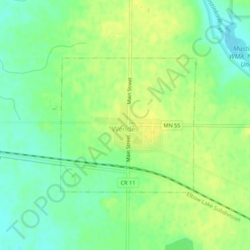
Name: Wendell topographic map, elevation, terrain.
Location: Wendell, Grant County, Minnesota, United States (46.02863 -96.11127 46.04314 -96.09019)
Average elevation: 346 m
Minimum elevation: 335 m
Maximum elevation: 355 m
Other topographic maps
Click on a map to view its topography, its elevation and its terrain.
Ashby
United States > Minnesota > Grant County
Ashby, Grant County, Minnesota, United States
Average elevation: 388 m
Hoffman
United States > Minnesota > Grant County
Hoffman, Grant County, Minnesota, United States
Average elevation: 378 m