
Ajegunle topographic map
Interactive map
Click on the map to display elevation.
About this map
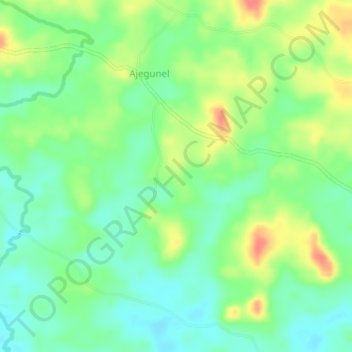
Name: Ajegunle topographic map, elevation, terrain.
Location: Ajegunle, Idanre, Ondo State, Nigeria (7.05270 5.23150 7.09270 5.27150)
Average elevation: 250 m
Minimum elevation: 225 m
Maximum elevation: 290 m
Other topographic maps
Click on a map to view its topography, its elevation and its terrain.