
Kawauchi topographic map
Interactive map
Click on the map to display elevation.
About this map
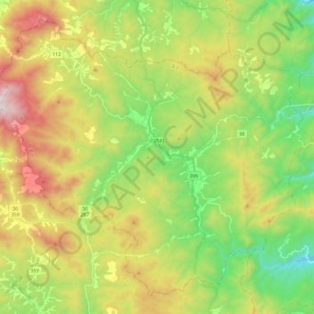
Name: Kawauchi topographic map, elevation, terrain.
Location: Kawauchi, Futaba County, Fukushima Prefecture, Japan (37.25149 140.69899 37.40463 140.91684)
Average elevation: 574 m
Minimum elevation: 166 m
Maximum elevation: 1,188 m