
Băile Borșa topographic map
Interactive map
Click on the map to display elevation.
About this map
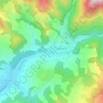
Name: Băile Borșa topographic map, elevation, terrain.
Location: Băile Borșa, Borșa, Maramureș, 435250, Romania (47.66416 24.69391 47.70416 24.73391)
Average elevation: 917 m
Minimum elevation: 687 m
Maximum elevation: 1,410 m
Other topographic maps
Click on a map to view its topography, its elevation and its terrain.