Geolocate

Champa topographic map

Interactive map

Click on the map to display elevation.

About this map

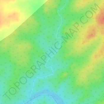
Name: Champa topographic map, elevation, terrain.

Location: Champa, Ranchi, Khunti, Jharkhand, India (22.84155 85.12190 22.86670 85.13178)

Average elevation: 451 m

Minimum elevation: 428 m

Maximum elevation: 475 m

Other topographic maps

Click on a map to view its topography, its elevation and its terrain.

Madhupur

India > Jharkhand

Madhupur, Deoghar District, Jharkhand, India

Average elevation: 247 m

Gumia

India > Jharkhand > Gumia

Gumia, Girīdīh, Giridih, Jharkhand, 829112, India

Average elevation: 269 m

Angara

India > Jharkhand > Angara

Angara, Ranchi, Jharkhand, 835104, India

Average elevation: 562 m

Jharkhand

India > Jharkhand

Jharkhand, India

Average elevation: 277 m