
湧別町 topographic map
Interactive map
Click on the map to display elevation.
About this map
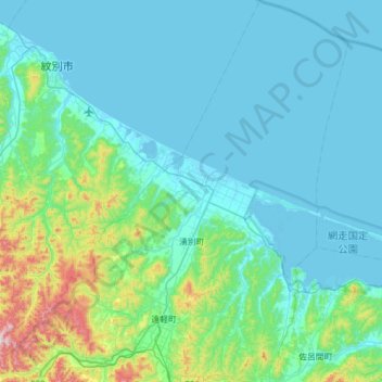
Name: 湧別町 topographic map, elevation, terrain.
Location: 湧別町, 紋別郡, 北海道, 日本 (43.98699 143.41045 44.43134 143.82830)
Average elevation: 92 m
Minimum elevation: -4 m
Maximum elevation: 731 m
Other topographic maps
Click on a map to view its topography, its elevation and its terrain.