
Rukara topographic map
Interactive map
Click on the map to display elevation.
About this map
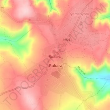
Name: Rukara topographic map, elevation, terrain.
Location: Rukara, Kayonza District, Eastern Province, Rwanda (-1.81283 30.49469 -1.77766 30.51897)
Average elevation: 1,591 m
Minimum elevation: 1,438 m
Maximum elevation: 1,652 m
Other topographic maps
Click on a map to view its topography, its elevation and its terrain.