
Ruinen topographic map
Interactive map
Click on the map to display elevation.
About this map
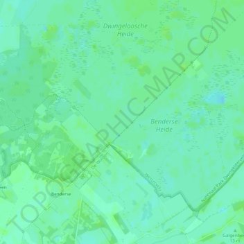
Name: Ruinen topographic map, elevation, terrain.
Location: Ruinen, Westerveld, Drente, Niederlande (52.77745 6.35373 52.79805 6.40065)
Average elevation: 10 m
Minimum elevation: 5 m
Maximum elevation: 14 m
Other topographic maps
Click on a map to view its topography, its elevation and its terrain.
Frederiksoord
Niederlande > Drente > Westerveld
Frederiksoord, Westerveld, Drente, Niederlande
Average elevation: 5 m