
Frederiksoord topographic map
Interactive map
Click on the map to display elevation.
About this map
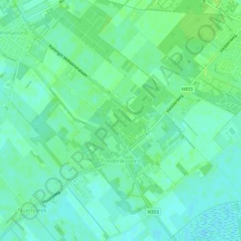
Name: Frederiksoord topographic map, elevation, terrain.
Location: Frederiksoord, Westerveld, Drente, Niederlande (52.83379 6.16532 52.86007 6.20680)
Average elevation: 5 m
Minimum elevation: -1 m
Maximum elevation: 10 m
Other topographic maps
Click on a map to view its topography, its elevation and its terrain.
Ruinen
Niederlande > Drente > Westerveld
Ruinen, Westerveld, Drente, Niederlande
Average elevation: 10 m