
Göbekli topographic map
Interactive map
Click on the map to display elevation.
About this map
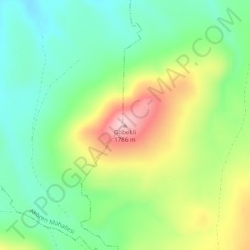
Name: Göbekli topographic map, elevation, terrain.
Location: Göbekli, Pınarbaşı, Kayseri, Central Anatolia Region, Turkey (38.78920 36.18194 38.78930 36.18204)
Average elevation: 1,644 m
Minimum elevation: 1,557 m
Maximum elevation: 1,792 m