
Al Hasahisa topographic map
Interactive map
Click on the map to display elevation.
About this map
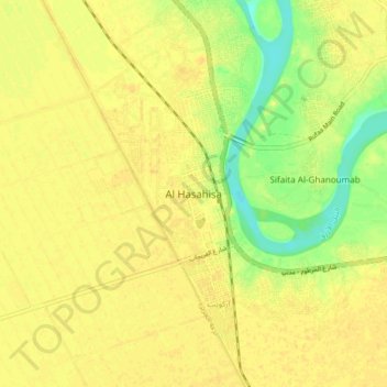
Name: Al Hasahisa topographic map, elevation, terrain.
Location: Al Hasahisa, Gezira State, Sudan (14.69573 33.25871 14.77573 33.33871)
Average elevation: 401 m
Minimum elevation: 384 m
Maximum elevation: 407 m
Other topographic maps
Click on a map to view its topography, its elevation and its terrain.