
Rufaah topographic map
Interactive map
Click on the map to display elevation.
About this map
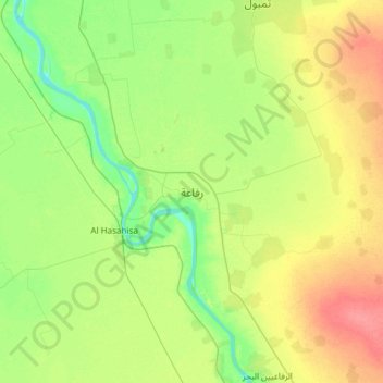
Name: Rufaah topographic map, elevation, terrain.
Location: Rufaah, Gezira State, Sudan (14.60777 33.20600 14.92777 33.52600)
Average elevation: 406 m
Minimum elevation: 384 m
Maximum elevation: 437 m
Other topographic maps
Click on a map to view its topography, its elevation and its terrain.