
Anaktuvuk Pass topographic map
Interactive map
Click on the map to display elevation.
Anaktuvuk Pass
Anaktuvuk Pass is slightly north of the Brooks Range on the divide between the Anaktuvuk River and the John River, at an elevation of 2,200 ft (670 m). Anaktuvuk Pass is the last remaining settlement of the Nunamiut (People of the Land) Iñupiat Inuit in Alaska.
About this map
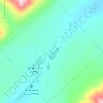
Name: Anaktuvuk Pass topographic map, elevation, terrain.
Location: Anaktuvuk Pass, North Slope, Alaska, 99721, United States (68.12647 -151.77813 68.17306 -151.65319)
Average elevation: 727 m
Minimum elevation: 605 m
Maximum elevation: 1,439 m
Other topographic maps
Click on a map to view its topography, its elevation and its terrain.
Deadhorse
United States > Alaska > North Slope
In February 2023, a "high altitude object" about the size of a small car was shot down near the area after a decision by President Joe Biden.
Average elevation: 14 m