
Hueytown topographic map
Interactive map
Click on the map to display elevation.
About this map
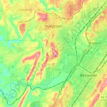
Name: Hueytown topographic map, elevation, terrain.
Location: Hueytown, Jefferson County, Alabama, United States (33.37841 -87.07981 33.46887 -86.95158)
Average elevation: 164 m
Minimum elevation: 109 m
Maximum elevation: 244 m
Other topographic maps
Click on a map to view its topography, its elevation and its terrain.
Crestline Heights
United States > Alabama > Jefferson County > Mountain Brook
Average elevation: 241 m