
Lata Payong topographic map
Interactive map
Click on the map to display elevation.
About this map
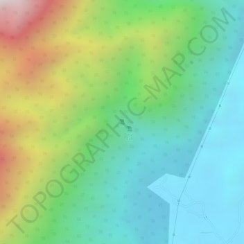
Name: Lata Payong topographic map, elevation, terrain.
Location: Lata Payong, Hulu Perak District, Perak, Malaysia (5.00929 100.92054 5.00939 100.92064)
Average elevation: 369 m
Minimum elevation: 57 m
Maximum elevation: 976 m
Other topographic maps
Click on a map to view its topography, its elevation and its terrain.
Kampung Baru Simpang Pulai
Malaysia > Perak > Kg. Baru Simpang Pulai > Kampung Baru Simpang Pulai
Average elevation: 54 m