
Falls Farm topographic map
Interactive map
Click on the map to display elevation.
About this map
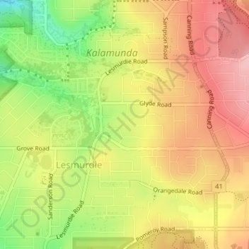
Name: Falls Farm topographic map, elevation, terrain.
Location: Falls Farm, Lesmurdie, Perth, Western Australia, Australia (-31.99857 116.05273 -31.99748 116.05630)
Average elevation: 275 m
Minimum elevation: 188 m
Maximum elevation: 340 m
Other topographic maps
Click on a map to view its topography, its elevation and its terrain.
Hyde Park
Australia > Western Australia > Perth
Hyde Park, Highgate, Perth, Western Australia, Australia
Average elevation: 25 m
Lesley
Australia > Western Australia > Perth
Lesley, Perth, Western Australia, Australia
Average elevation: 259 m