
Toukoto topographic map
Interactive map
Click on the map to display elevation.
About this map
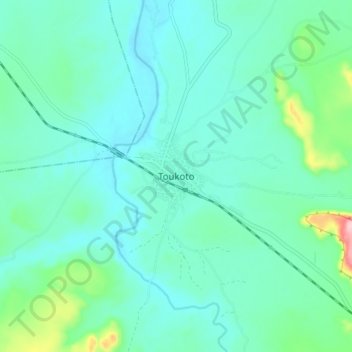
Name: Toukoto topographic map, elevation, terrain.
Location: Toukoto, Kita Cercle, Kayes, Mali (13.40649 -9.91615 13.48649 -9.83615)
Average elevation: 194 m
Minimum elevation: 159 m
Maximum elevation: 358 m
Other topographic maps
Click on a map to view its topography, its elevation and its terrain.