
Beseri topographic map
Click on the map to display elevation.
About this map
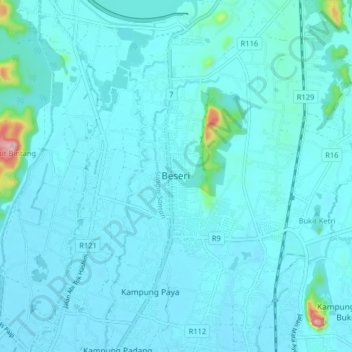
Name: Beseri topographic map, elevation, terrain.
Location: Beseri, Perlis, 02400, Malaysia (6.48876 100.19060 6.56876 100.27060)
Average elevation: 28 m
Minimum elevation: 7 m
Maximum elevation: 278 m
Other topographic maps
Click on a map to view its topography, its elevation and its terrain.