
Agua Negra topographic map
Interactive map
Click on the map to display elevation.
About this map
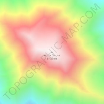
Name: Agua Negra topographic map, elevation, terrain.
Location: Agua Negra, Iglesia, San Juan, Argentina (-30.32712 -69.68775 -30.32702 -69.68765)
Average elevation: 5,017 m
Minimum elevation: 4,441 m
Maximum elevation: 5,491 m
Other topographic maps
Click on a map to view its topography, its elevation and its terrain.
Río Castaño
Río Castaño, Calingasta, San Juan, Argentina
Average elevation: 1,482 m