
Río Castaño topographic map
Interactive map
Click on the map to display elevation.
About this map
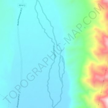
Name: Río Castaño topographic map, elevation, terrain.
Location: Río Castaño, Calingasta, San Juan, Argentina (-31.21284 -69.45134 -31.17708 -69.44343)
Average elevation: 1,482 m
Minimum elevation: 1,376 m
Maximum elevation: 1,929 m
Other topographic maps
Click on a map to view its topography, its elevation and its terrain.