
Punta Gorda topographic map
Interactive map
Click on the map to display elevation.
About this map
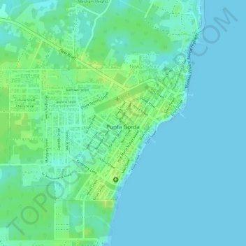
Name: Punta Gorda topographic map, elevation, terrain.
Location: Punta Gorda, Toledo District, Belize (16.09108 -88.82185 16.10797 -88.80007)
Average elevation: 6 m
Minimum elevation: -1 m
Maximum elevation: 15 m
Other topographic maps
Click on a map to view its topography, its elevation and its terrain.