Geolocate

Kings Mountain topographic map

Interactive map

Click on the map to display elevation.

About this map

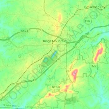
Name: Kings Mountain topographic map, elevation, terrain.

Location: Kings Mountain, Cleveland County, North Carolina, United States (35.17736 -81.45910 35.28081 -81.30372)

Average elevation: 272 m

Minimum elevation: 188 m

Maximum elevation: 474 m

Other topographic maps

Click on a map to view its topography, its elevation and its terrain.

Ora

United States > North Carolina > Cleveland County > Shelby

Ora, Shelby, Cleveland County, North Carolina, 28150, United States

Average elevation: 245 m

Moss Lake Park II (Westside)

United States > North Carolina > Cleveland County > Kings Mountain

Moss Lake Park II (Westside), Kings Mountain, Cleveland County, North Carolina, United States

Average elevation: 231 m

Shelby

United States > North Carolina > Cleveland County > Shelby

Shelby, Cleveland County, North Carolina, United States

Average elevation: 248 m

Earl

United States > North Carolina > Cleveland County > Earl

Earl, Cleveland County, North Carolina, 28038, United States

Average elevation: 241 m