
Isola Gallinara topographic map
Interactive map
Click on the map to display elevation.
About this map
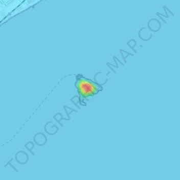
Name: Isola Gallinara topographic map, elevation, terrain.
Location: Isola Gallinara, Albenga, Savona, Liguria, Italia (44.02287 8.22421 44.02746 8.22985)
Average elevation: 0 m
Minimum elevation: -1 m
Maximum elevation: 72 m
Other topographic maps
Click on a map to view its topography, its elevation and its terrain.