
Gatwe topographic map
Interactive map
Click on the map to display elevation.
About this map
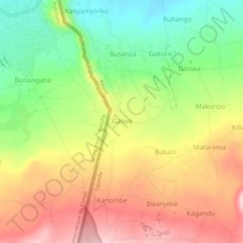
Name: Gatwe topographic map, elevation, terrain.
Location: Gatwe, Kisoro, Western Region, Uganda (-1.33992 29.58997 -1.29992 29.62997)
Average elevation: 2,062 m
Minimum elevation: 1,909 m
Maximum elevation: 2,223 m
Other topographic maps
Click on a map to view its topography, its elevation and its terrain.