
برج الوزير topographic map
Interactive map
Click on the map to display elevation.
About this map
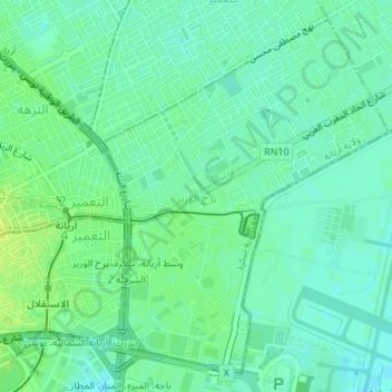
Name: برج الوزير topographic map, elevation, terrain.
Location: برج الوزير, معتمدية سكرة, Ariana, 2030, Tunisia (36.84855 10.20040 36.87293 10.22526)
Average elevation: 7 m
Minimum elevation: -1 m
Maximum elevation: 16 m
Other topographic maps
Click on a map to view its topography, its elevation and its terrain.
أريانة العليا
أريانة العليا, معتمدية أريانة المدينة, Ariana, 2037, Tunisia
Average elevation: 66 m