
Hat topographic map
Interactive map
Click on the map to display elevation.
About this map
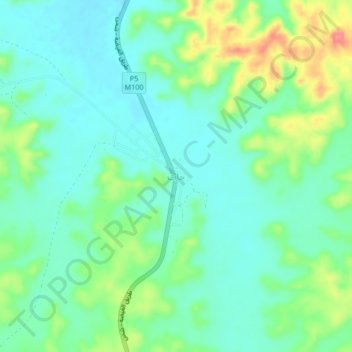
Name: Hat topographic map, elevation, terrain.
Location: Hat, Hat District, Al Mahrah Governorate, Yemen (17.30175 52.07601 17.34175 52.11601)
Average elevation: 766 m
Minimum elevation: 743 m
Maximum elevation: 820 m
Other topographic maps
Click on a map to view its topography, its elevation and its terrain.
Al Ghaydah District
Al Ghaydah District, Al Mahrah Governorate, Yemen
Average elevation: 353 m
Muhayifif
Yemen > Al Mahrah Governorate > Muhayifif
Muhayifif, Al Ghaydah District, Al Mahrah Governorate, Yemen
Average elevation: 10 m