
Al Ghaydah District topographic map
Interactive map
Click on the map to display elevation.
About this map
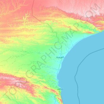
Name: Al Ghaydah District topographic map, elevation, terrain.
Location: Al Ghaydah District, Al Mahrah Governorate, Yemen (15.63326 51.50390 16.90771 52.73968)
Average elevation: 353 m
Minimum elevation: 0 m
Maximum elevation: 1,401 m
Other topographic maps
Click on a map to view its topography, its elevation and its terrain.